When the Ground Moves: Why Institutions Misread Their Own Sensor Metrics
This piece is part of a three-part series on ground truth, federation, and the anchor point. Read the series guide for context on how the three pieces fit together.
The Sensor Was Not Wrong
Over a long career working with environmental sensing, disaster response, and geospatial systems, I learned a lesson that applies far beyond satellites and maps.
Sometimes the measurement is correct.
The problem is that the world it was calibrated against no longer exists.
When that happens, institutions often defend the metric instead of recognizing that the underlying substrate has changed.
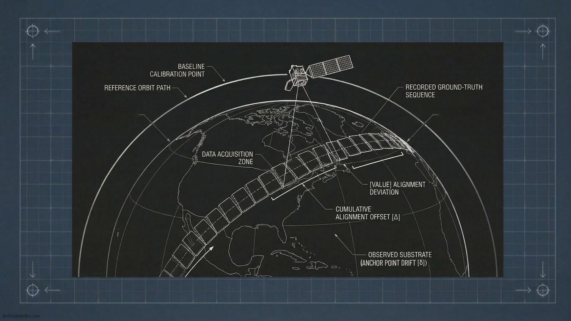
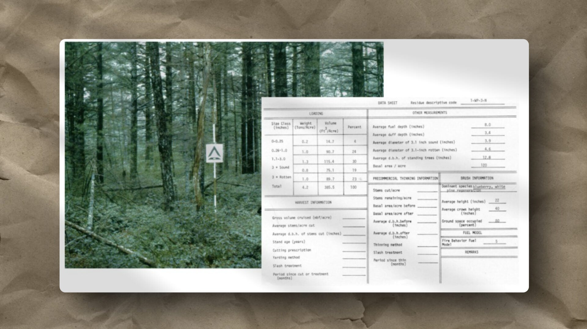
Example 1: A Ground Control Point That Was No Longer Ground Truth
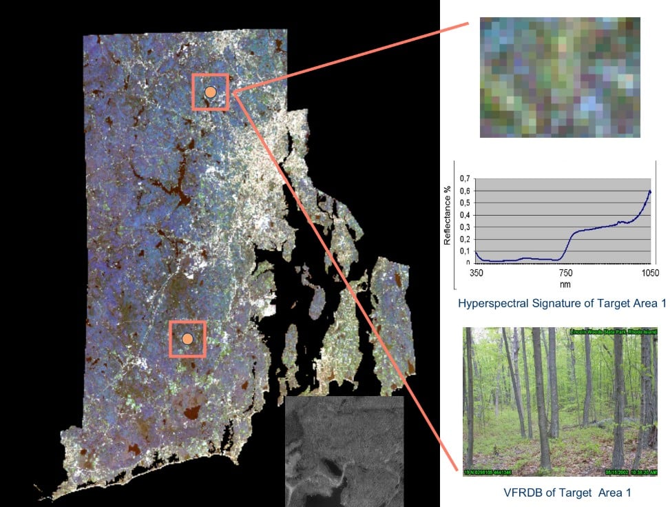
Figure 1: Archival methodology graphic (circa 2001). The software we used to build the original Virtual Field Reference Database is obsolete, but the core rule has not changed: you cannot accurately measure environmental shifts from orbit without first doing the hard work of physical, on-the-ground calibration.
Years ago, managing coastal land cover datasets, we began seeing seeing anomalies in satellite calibration against a single long-standing ground control point.
The sensor readings were drifting from expected values.
The first instinct was to question the calibration. But nothing had changed in the satellite.
The change was on the ground.
This control point had always been classified as stable scrub oak. Over time, however, local construction combined with wind-driven tides had periodically inundated the area with saltwater. The ecological conditions shifted. Salt-tolerant vegetation began to replace the scrub oak.
The sensor had not failed. The ground truth class had changed.
Once we updated the classification, the anomaly disappeared.
This is the first discipline: protecting the integrity of your reference classes over time. Not because they are sacred, but because the moment they drift undetected, everything built on them drifts with them.
Example 2: The Slow Disappearance of the Hemlock Forest
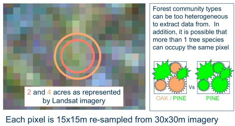
Figure 2: A not-to-scale conceptual depiction (circa 2001) of the classification process. Modern algorithms process mixed pixels differently today, but the underlying risk remains exactly the same: forcing a complex, changing physical environment into rigid, outdated categories will always corrupt your data.
A far larger version of this happened across the eastern United States with the spread of the hemlock woolly adelgid.
For generations, hemlock forests created stable spectral signatures across entire watersheds. Then the infestation began. Over years, entire stands collapsed. Remote sensing data began showing signals that no longer matched historical canopy conditions.
Again, the instruments were not wrong. The forest itself was dying.
The sensor was reading reality correctly. The reference landscape had changed.
What made this detectable was technology operating at a scale and precision that older classification systems could not match. The anomaly was not a failure of the sensor. It was the sensor doing its job, revealing that the world the old framework described no longer existed.
When instruments reveal substrate change rather than confirming expected stability, that is the system working. The failure is not recognizing it as signal rather than noise.
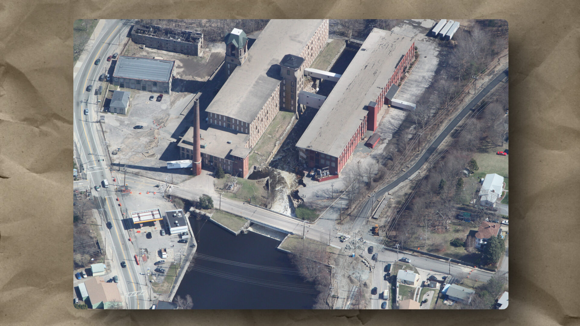
Example 3: Hurricane Katrina and the Geography of Debris
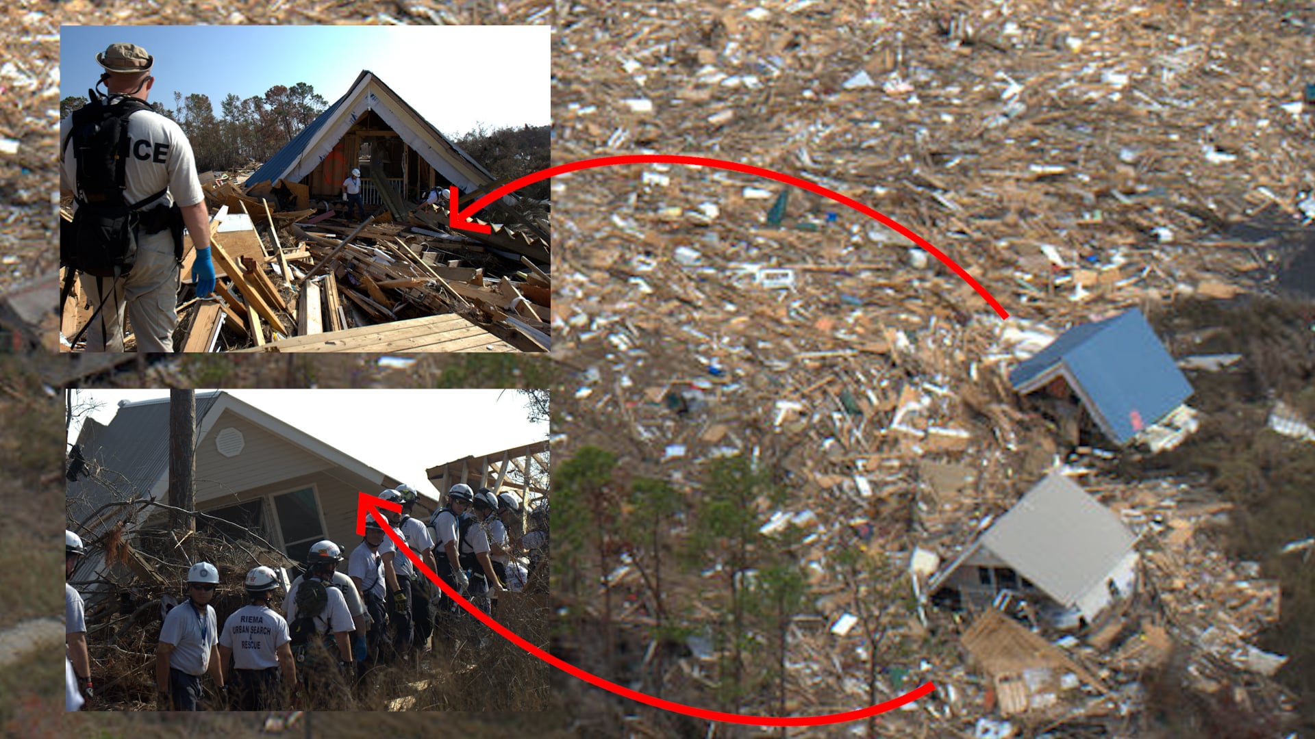
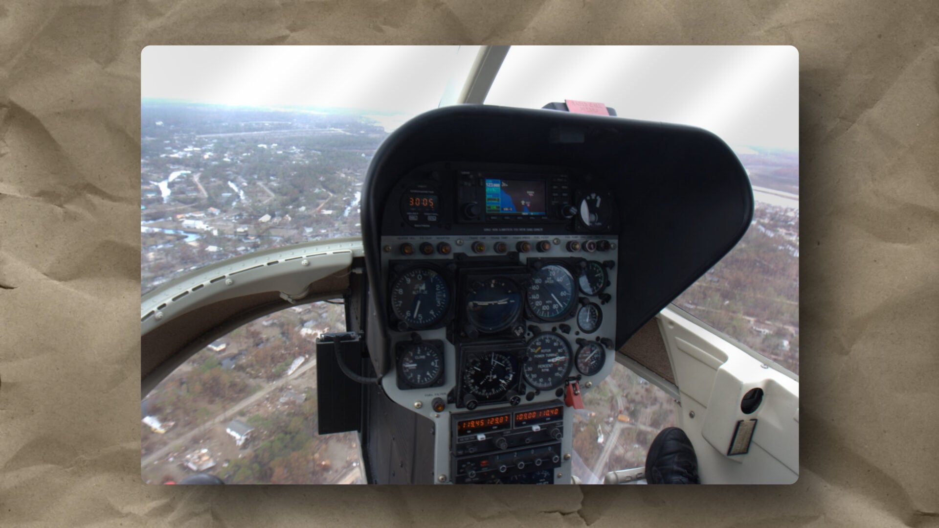
Figure 3: Situational awareness composite from Hurricane Katrina response (2005). When storm surge displaces structures over a kilometer, legacy maps become useless. Distinctive visual signatures (like the intact blue roof) become the new manual anchor points required to synchronize aerial reconnaissance with ground-level Urban Search and Rescue teams. For operational context on this specific deployment, view the archival Mobile Mapping Unit field video here.
During Hurricane Katrina response operations, the substrate did not shift gradually. It changed in hours.
Storm surge physically relocated entire neighborhoods. Houses drifted more than a mile from their original locations. Street signs and house numbers often remained intact, attached to structures sitting nowhere near the streets they belonged to.
The labeling system had not failed. The terrain had been rearranged.
In those conditions, the fastest path to situational awareness was oblique aerial photography. At the time, automated geotagging did not exist. Establishing a spatial anchor required manual GPS track-logging, post-flight timestamp reconciliation, and KML production before the imagery could be used operationally.
The product was not perfect. It was not orthorectified. But it gave the Incident Commander an immediate picture of the new terrain, and it was delivered in a form he could present himself.
The goal was not to brief him. It was to transfer the capability to him so he could drive. He ran the situational awareness briefing. I stepped back.
Speed of perception and transferred ownership, not perfection of measurement.
In rapidly changing environments, waiting for the golden dataset is a failure mode of its own.
The Institutional Reflex
When measurements conflict with lived reality, institutions often follow a predictable pattern.
First they question the sensor. Then they defend the legacy classification. Finally they ignore the anomaly.
What they rarely do first is ask the harder question: has the underlying substrate changed?
The sensor, in most cases, is still reading correctly. What has failed is the willingness to admit that the world it was built to measure has moved.
Three Disciplines That Hold Together
These three examples each required a different response, but they share the same underlying demand.
The scrub oak anomaly required defending the integrity of the reference class. Long-term scientific continuity depends on knowing when calibration anchors are no longer trustworthy, and updating them before the drift compounds.
The hemlock collapse required trusting the instrument over the inherited classification. Technological evolution reveals substrate change that legacy frameworks cannot see, and the anomaly is often the signal worth following.
The Katrina response required acting under conditions where the substrate had collapsed entirely. Operational resilience comes not from perfection of data but from speed of perception, appropriate tools, and transferred capability to the decision maker closest to the ground.
Scientific continuity. Technological evolution. Operational resilience.
These are not competing values. Holding all three in tension simultaneously is the discipline.
Doctrine Principle
When measurements and lived reality diverge, check the substrate before recalibrating the sensor. The instrument is still reading correctly. It is the ground beneath it that has moved.
Last Updated on June 9, 2026